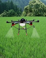
Agricultural Forestry
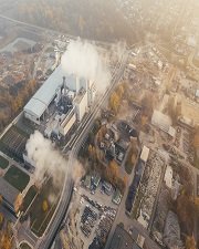
Aerial Mapping & Survey
Monitoring the progress of the construction site in time lapse or orthophotos to facilitate the project manager’s work. Complete or replace your topographic surveys with precise aerial 3D mapping by drone. Apartment / apartment / house / pension / factory / warehouse / fire insurance / civil engineering survey.Security Monitoring
Drones are capable of collecting imagery, ideally suited for reconnaissance or rapid situation awareness with applications for the ground unit force to detect and monitor potential threats from a safe distance. Drones used for Maritime, Coast Guard, Event Monitoring, Air surveillance, Intelligence, Plant Guard, Traffic MonitoringHazardous area work
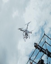
Safely inspect infrastructure (high voltage line, fire site, outer wall of high- rise building, dams) without stopping production. Drone are equipped with digital camera /sensor while recording and also displaying the monitored scene in real time help in detecting accidental areas, disaster site.Video and Photography
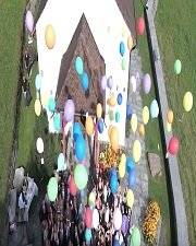
Drone 's advanced performance and its popularization in recent years has recently led to the increasing use of aerial shots in television and movies, weddings and the range of image expression has expanded significantly. Our students talk about their training at HAYEDRONE FLYING ACADEMY
Find out about our student’s testimonials and experiences


